


Want more information?
Want more information?
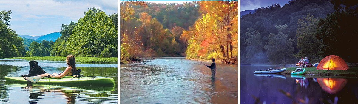
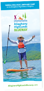
Always check the water levels before you paddle. Be cognizant of rain received in the watershed up river, which can take hours or days to flow through the Alleghany Highlands Blueway. High water levels create powerful currents and wave fields that can swamp and overturn boats. Avoid paddling when the water levels are above the Blueway’s recommended high water cut off. Low river may expose logs, stumps or rocks, which make the trip slower and more difficult to navigate. On the Jackson River, be aware that releases from the Gathright Dam can occur at any time and cause the river to rise unexpectedly. Always check release schedule from the Dam before you float the Jackson River. A daily recorded message regarding releases can be heard at 540-965-4117.
VIEW WATER LEVEL INFORMATION FOR:
Jackson River: Section 2 – Below Gathright Dam >
This stretch of river is passable when the water level is between 8.85 feet and 10 feet or river flow is between 200 CFS and 1000 CFS. Higher water may result in faster current or more rapids. Lower water may result in shallow water or exposed logs and rocks.
Jackson River: Section 3 – in Covington >
This stretch of river is passable when the water level is between 5.0 feet and 6.5 feet or river flow is between 500 CFS and 1900 CFS. Higher water may result in faster current or more rapids. Lower water may result in shallow water or exposed logs and rocks.
Cowpasture River >
This stretch of river is passable when the water level is between 2.0 feet and 4.0 feet or river flow is between 200 CFS and 1400 CFS. Higher water may result in faster current or more rapids. Lower water may result in shallow water or exposed logs and rocks.
Sign up to receive
News & Updates >
Get the latest news and be the first to learn about new deals and events
Aug 8, 2026
The Virginia Opry Presents: Patsy & Elvis
Aug 17, 2026
A Neil Diamond Tribute
Aug 29, 2026
The Virginia Opry and The Historic Masonic Theatre Presents: Cash Unchained